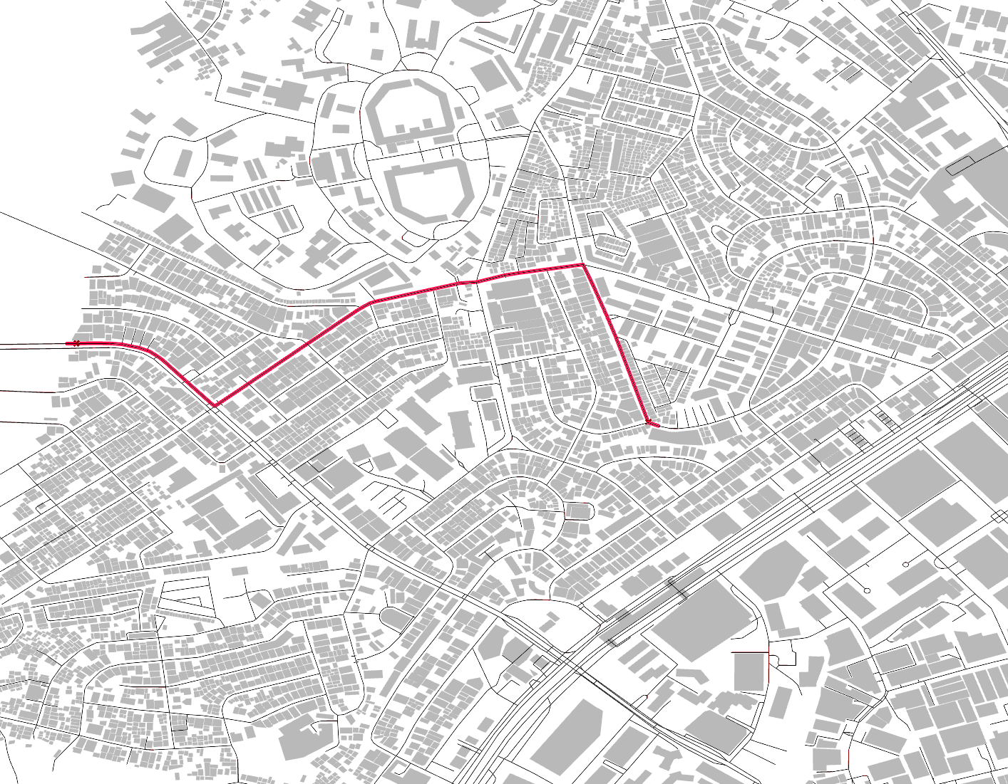
Street Network Analysis of EDSA

Street Network Analysis of EDSA along Shaw Boulevard and Boni Avenue reveals:
1. Pathways that are currently not utilized as major thoroughfares but shares the same centrality and distribution of movement flows that qualifies them as alternative routes (red).
2. Potential alternatives to prevent vehicular traffic bottlenecks (orange).